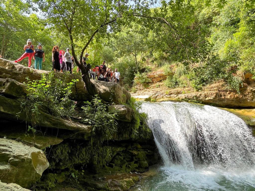
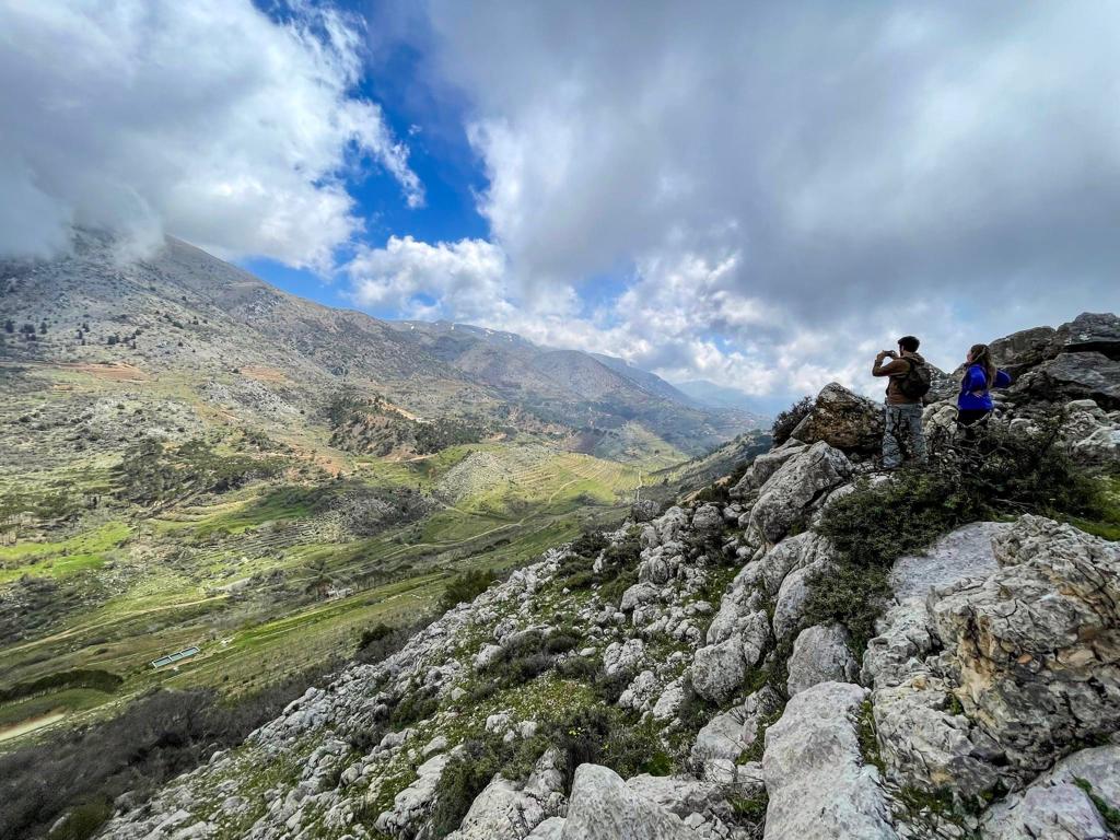
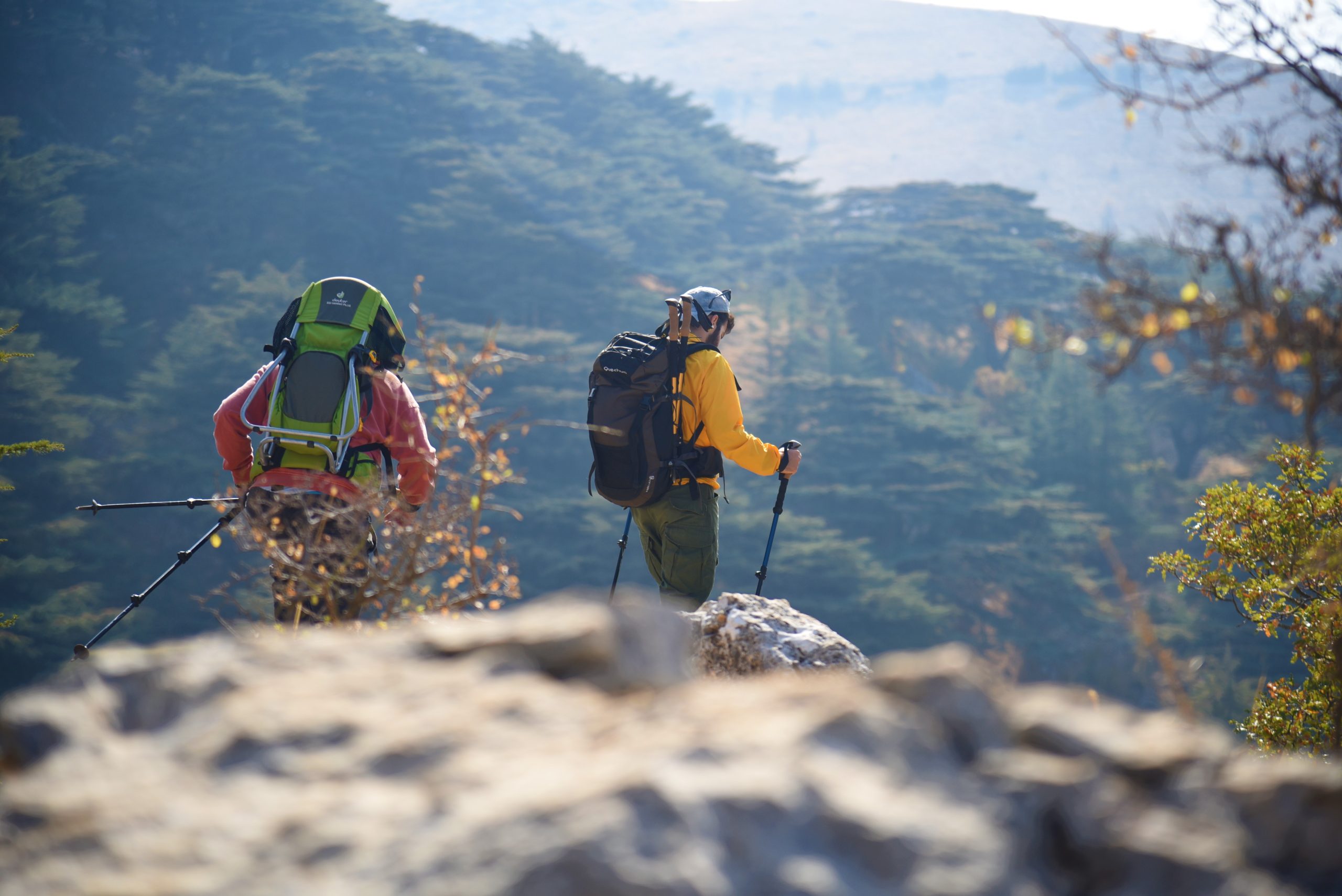
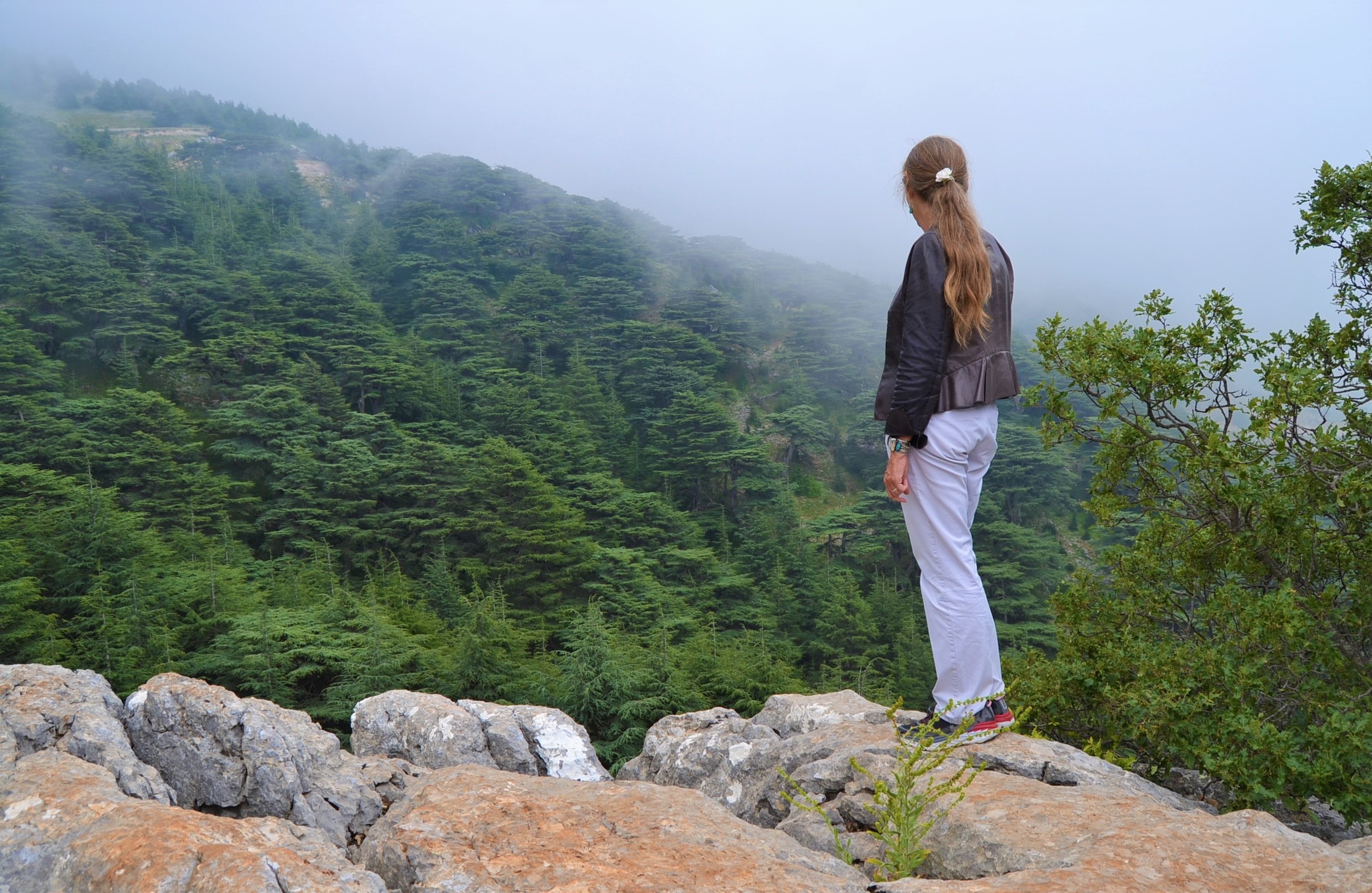
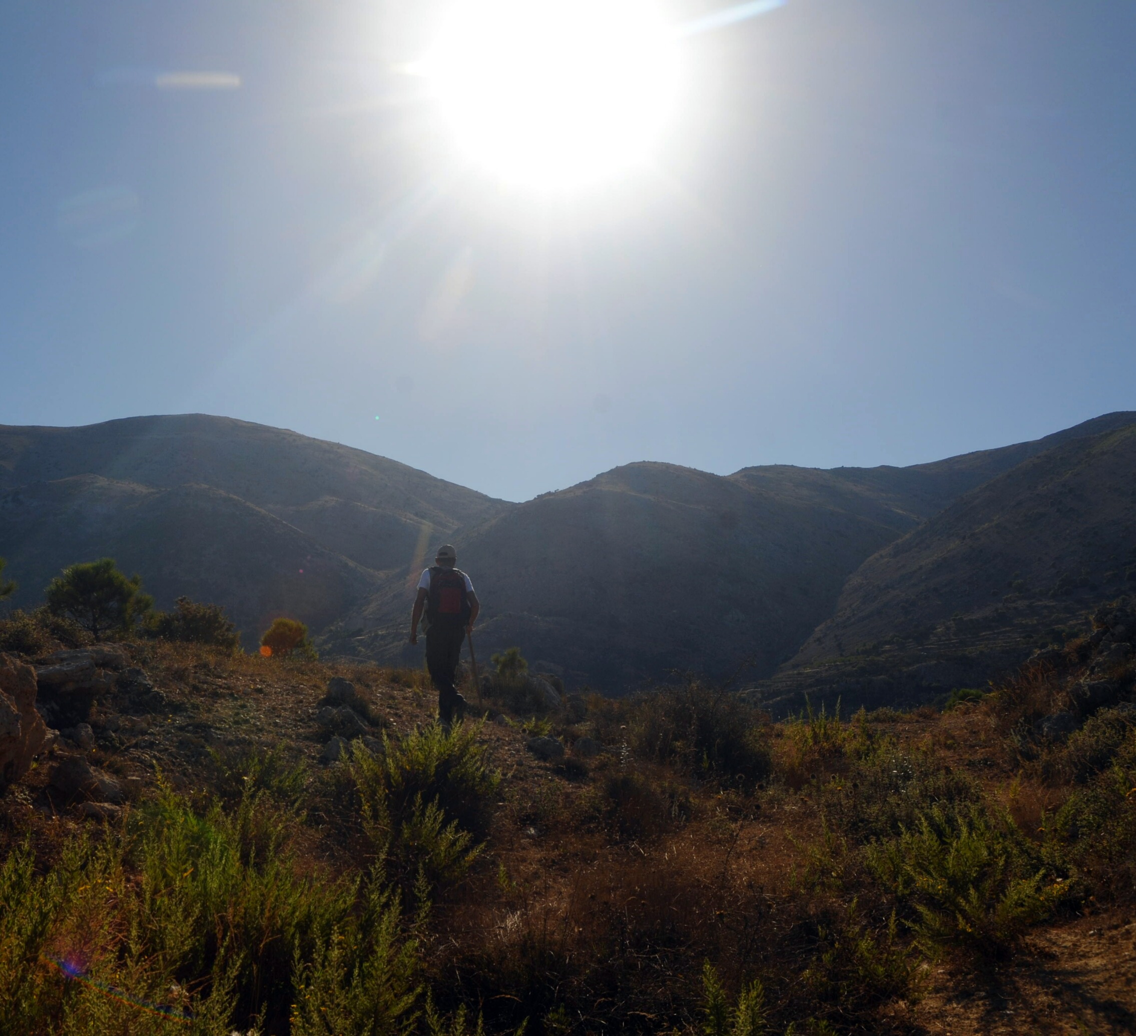
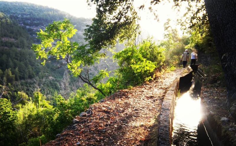
The Shouf Biosphere Reserve boasts over 250 kilometers of hiking trails, catering to a wide range of visitors. As USAID’s Trade and Investment Facilitation (TIF) project is actively working to boost the district’s reputation and improve its tourism attractions, we highlight seven great hiking trails in Shouf.
The trail of Emir Fakhreddine Maan the Great – Niha El Shouf
The Niha trail is a 13-kilometer moderate-level hike with a 10% slope. It takes around 2.5 hours to complete. The trail features notable landmarks, including the Saint Georges Church, Al-Chir, an old mill, River Road Bridge, Nabeh Niha, Niha Spring Cave and the site of Nabi Ayyoub. Niha village, located on Mount Niha in western Mount Lebanon, covers 3,700 hectares and showcases Roman tombs, a cave fortress and 360 springs.
The trail of cultural heritage and traditions of Maasser El Shouf
The 20-kilometer moderate-to-difficult trail takes approximately six hours to complete. It features landmarks like Maasser El Shouf Cedar Forest, a grape press, old terraces, Qalaat El Hoson and Balaaya archaeological sites, a watermill bridge, El Waqf watermill, the Church of Saint Michael, Al Khalwa and agricultural fields. Maasser El Shouf village, located between 1,150 and 1,950 meters above sea level, showcases traditional architecture, cedar groves and Roman sites, including Qalaat El Hosn fortress and rock-cut tombs.
Darb el Hajal (the Patridge Trail) – Jbaa el Shouf
The seven-kilometer trail offers an easy to moderate level of difficulty, with an average slope of 7.7% to 9.1%. It forms a loop, starting and ending at the Jbaa entrance, taking around 2.5 hours to complete. Along the trail, hikers will encounter captivating landmarks, such as Ain al-Shaashou, Al-Hawta, Zadeh Fortress, Roman Grape Mill and Jeita Spring, showcasing the area’s history and beauty. Jbaa village, located on Mount Barouk-Niha, offers stunning views, historical monuments, abundant water sources and evergreen forests dating back to the Bronze Age.
The Barouk-Fraidiss Trail
Taking between four and five hours, the moderate-to-difficult 20-kilometer trail has steep slopes and a 20.3% gradient. A section is accessible for people with special needs. The trail passes cultural landmarks, such as the Rachid Nakhle Cultural Center, as well as the Noss water mill, Church of Saint Anthony the Great, Mausoleum of Cheikh Abou Hassan Aref Halawi, Wata and Roman grape presses, Dalboun Forest, and Halabi historical bridge. Barouk-Fraidiss village is known for its cedar forest and Barouk water source, as well as being the birthplace of Cheikh Abou Hassan Aref Halawi and poet Rachid Nakhli.
Darb al-Yanabih (Trail of springs) Ain Zhalta – Nabeh Al Safa
The Ain Zhalta-Bmohray trail offers hikers a moderate 12.2-kilometer hike with a 24% slope. Completing the trail takes about four hours. Along the way, hikers can admire the Victoria Hotel, Toufic Beik Raad Palace, Saint Kyrillos Church and Lady of Assumption Church. Natural features include Ain al-Dayaa village spring and Al Safaa Spring. Ain Zhalta village is known for its beautiful old houses, pine forests, orchards and water sources. It was a popular summer destination in the early 20th century and remains a favorite destination for travelers to Shouf.
The Baadaran Al Shouf natural and cultural trail
This moderate 13-kilometer trail starts at the village’s information kiosk. The 2.5-hour trail introduces visitors to Blayet el-Hawa, the Roman Road, Qalaat el-Kawayer, Mashqir, the Roman Grape Press, the Church of Saint Elijah and other fascinating landmarks. Baadaran village, located in Shouf, is a tranquil retreat, with a strategic location on an ancient Roman mountain path.
Sustainable Forest Management trail (Batloun-Barouk-Maasser-Botmeh)
Thos challenging 16-kilometer trail starts at Batloun village and passes through Barouk-Fraidis and Maasser El Shouf before reaching Botmeh. With slopes of 30%, the trail takes around five hours. Landmarks include Haret El Tahta Bridge, Lime Kiln, Dalboun Forest, Charcoal Kiln, El-Mat-haneh Bridge, El-Waqf Water Mill, Malqa El-Sawaqi Bridge, Hyena Grotto and the Fornaya Oak Tree. Batloun village is known for its natural springs and archeological riches from the Hellenistic period.
LMT Trails
Section 18: Ain Zhalta – El Barouk
The trail from Ain Zhalta to El Barouk involves a total ascent of 544m and a total descent of 681m. Classed as very difficult, the route starts at the Ain Zhalta nature reserve entry point and takes you through the beautiful cedar forest, passing by the guard hut and hill lake. You then continue along a dirt road for about two hours until you reach the lake. From there, you have the option to continue toward the Maasser El Shouf reserve or descend to the El Barouk nature reserve gate. You can either walk along the main paved road or take a track below it to reach the el Barouk entrance. The same route can be followed in reverse from El Barouk to Ain Zhalta. This section is suitable for biking as well.
Section 19: El Barouk – Maasser El Shouf
The 14-kilometer trail can be hiked in both directions. The north-to-south route involves a challenging ascent of 688 meters and descent of 790 meters. Starting from El Barouk village, hikers can choose between a paved road or a narrow track below it, passing through the Masyaf el Mir forest. The south-to-north route has a greater ascent of 790 meters and descent of 688 meters.
Section 20: Maasser El Shouf – Niha
The 12-kilometer trail from Maasser El Shouf to Niha offers a challenging hike with an ascent of 548 meters and descent of 681 meters when traveled from north to south. Hikers start at El Chouf and follow the trail toward natural landmarks, such as Ain El Zghire and hill lake. The trail ends at the main square of Niha village. In the south-to-north direction, the trail involves a total ascent of 681 meters and descent of 548 meters, passing through various features, such as water canals, rock formations, pine forests and springs, concluding at the main square of Maasser El Shouf.
Section 21: Niha – Jezzine
The 14-kilometer trail can be hiked in both directions, either from Niha to Jezzine or vice versa. The north-to-south route involves a moderate hike (total ascent of 575 meters and descent of 634 meters). From Niha, hikers follow a path that includes Niha Fort, El Nabi Ayoub Shrine, a hill lake and Ain el Halkoum spring before reaching the end at Nabaa Jezzine spring. The south-to-north route is more challenging, with a total ascent of 634 meters and descent of 575 meters.
To explore these hiking trails in Shouf, book a tour with the DMO manager Omar Abi Ali (+961 3 680 726).
This article is part of a joint project to promote tourism destinations across Lebanon, launched by the Trade and Investment Facilitation (TIF) activity, funded by the United States Agency for International Development (USAID), and Hospitality Services. The content of this article is the sole responsibility of Hospitality Services, and does not necessarily reflect the views of USAID or the United States Government.
Loading


